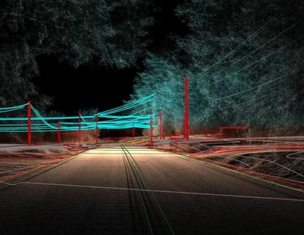
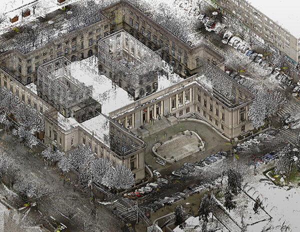
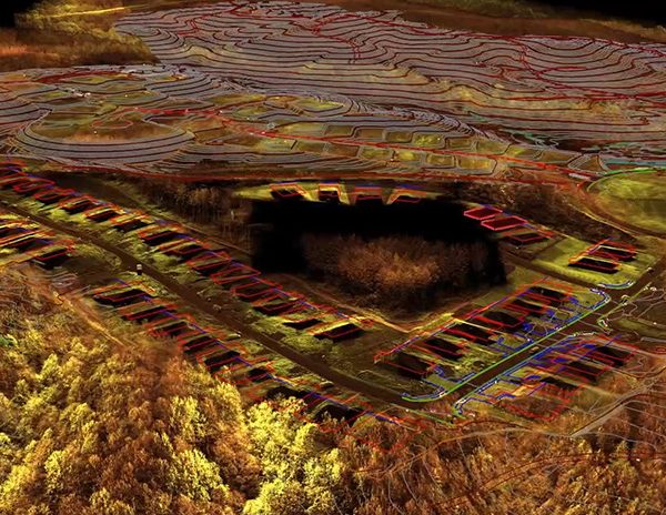
Working with ArenaCAD you get an experienced partner to handle all your point cloud processing needs. When you do the scanning and let us do the rest, you save time to focus on what you do best in surveying and growing your business. Having our high quality and experienced team at your disposal saves you money and reduces risk.
Our team is reliable, professional and always available to you when you need us. Our European team handles your processing and is experienced both in surveying and processing. Our expertise is your expertise.
We provide free guidance and consulting on 3D laser scanning and 3D modelling for our clients because your success is our success.
We are experts in TopoDOT, Revit, AutoCAD, but we can produce deliverables in nearly any format you need.
*We provide scanning services exclusively in Europe.


